Islampur, Jagannathpur
Village in Sylhet, Bangladesh
Islampur ইসলামপুর | |
|---|---|
Village | |
 Islampur Jame Masjid | |
| 24°44′7.529″N 91°35′37.148″E / 24.73542472°N 91.59365222°E / 24.73542472; 91.59365222 | |
| Country |  Bangladesh Bangladesh |
| Division | Sylhet |
| District | Sunamganj |
| Upazila | Jagannathpur |
| Union Council | No. 07 Syedpur Shaharpara Union Parishad (Ward Number - 06) |
| Government | |
| • Ward Member | Shahin Ahmed |
| Area | |
| • Total | 1.135 km2 (0.438 sq mi) |
| Population (2011) | |
| • Total | 993 |
| • Density | 870/km2 (2,300/sq mi) |
| Time zone | UTC+6 (BST) |
| Postal code | 3061 |
Islampur (Bengali: ইসলামপুর), formerly known as Brahmangaon (Bengali: ব্রাহ্মণগাঁও, romanized: Brahmongaon), is a village in Syedpur Shaharpara Union of Jagannathpur Upazila in the district of Sunamganj, Sylhet, Bangladesh.[1][2][3]
History
Islampur Jame Masjid
In the 18th century, a Mosque was established on the west side of the village, which was named "Islampur Jame Masjid", with the consent of all to address the needs of the people. At that time there was no mosque in the village other than that of the neighbouring village Syedpur. Historical sources suggest that the village is named after the mosque. However, it is disputed.
Demographics
According to the Population Census 2011 performed by Bangladesh Bureau of Statistics, the total population here is 993. There are 165 households in total.
Geography
Islampur is located at 24°44′7.529″N 91°35′37.148″E / 24.73542472°N 91.59365222°E / 24.73542472; 91.59365222. The total area of the village is 1.135 square kilometres (0.438 sq mi). Islampur village is bordering with Budhrail and Shaharpara on the north, Shewra and Alagdi on the south, Sunathonpur and Patkura on the east, Gosh Gaon and Teghoria on the west.[4]
Mouza
It has two Mouza: Brahmangaon and Sunatonpur.
Etymology
"Islampur" is a combination of two words: Islam and pur. Islam is derived from the Arabic root "Salema", which literally means peace, purity, submission and obedience.[5] And pur means village or city. So, "Islampur" means the village of peace.
Education
Primary school
- Anuchandra Govt. Primary School
- Sunatonpur Govt. Primary School
Secondary school
- Shah Jalal High School
- Syedpur Pilot High School
College
- Syedpur Adarsha College
Languages
The local people speak Bengali. Bangla and English languages are taught in schools. And, the educated section of the population can understand and speak English.
Picture Gallery
-
 Bird's eye view
 -
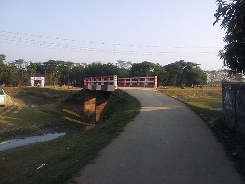 Bridge
 -
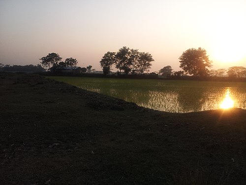 Sunset


See also
References
- ^ History of Islampur 26-03-2016 (Bengali). Islampur. Retrieved on 06-02-2017.
- ^ Islampur village 23-10-2017 (Bengali). Islampur. Retrieved on 06-02-2017.
- ^ Google Satellite View of Islampur. Google.com. Retrieved on 06-02-2017.
- ^ সৈয়দপুর শাহারপাড়া ইউনিয়ন পরিষদ, জাতীয় তথ্য বাতায়ন - গণপ্রজাতন্ত্রী বাংলাদেশ সরকার - People's Republic of Bangladesh (Bengali). syedpurshaharparaup.sunamganj.gov.bd. Retrieved on 06-02-2017.
- ^ The Meaning of Islam. Alim.org. Retrieved on 25-04-2019.
- v
- t
- e
Capital: Sunamganj

- Government Jubilee High School
- Sachna Bazar High School
- Beheli High School
External links
- Islampur, Jagannathpur on Facebook
 | This Sylhet Division location article is a stub. You can help Wikipedia by expanding it. |
- v
- t
- e


