Piikani 147
Indian reserve of the Piikani in Alberta, Canada
Indian reserve in Piikani

Flag
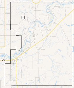
Boundaries of Piikani 147
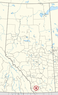
Location in Alberta
(2016)[2]
Piikani 147, formerly Peigan 147, is an Indian reserve of the Piikani Nation in Alberta.[3] It is located 61 km (38 mi) west of the City of Lethbridge. It has a land area of 426.992 km2 (164.863 sq mi),[1] making it the fourth-largest Indian reserve in Canada, and lies at an elevation of 1,046 m (3,432 ft). The Canada 2011 Census reported a population of 1,217 inhabitants. It is bordered by the Municipal District of Willow Creek No. 26 on its north and east, and by the Municipal District of Pincher Creek No. 9 on its west and south. The nearest outside communities are Fort Macleod and Pincher Creek.
External links
- Map of Piikani 147 at Statcan
References
- ^ a b Reserve, settlement or village details for Piikani Nation Reserve at Indigenous and Northern Affairs Canada. Retrieved 19 July 2021.
- ^ "Census Profile, 2016 Census". Statistics Canada. February 8, 2017. Retrieved 2019-08-10.
- ^ First Nation details for the Piikani Nation First Nations at Indigenous and Northern Affairs Canada. Retrieved 19 July 2021.
- v
- t
- e
Blackfoot Confederacy
| Blackfoot-speaking | |
|---|---|
| Later members |
|
| Reservations (US) |
|
|---|---|
| Reserves (Canada) |
|
- War with Shoshone (circa 1730s-1800s)
- 1775–1782 North American smallpox epidemic
- 1837–1838 smallpox epidemic
- Treaty of Fort Laramie (1851) (with USA)
- War against the Crow and Gros Ventre (circa 1861–1867)
- Treaty of Fort Laramie (1868) (with USA)
- Battle of the Belly River (against the Cree, 1870)
- Marias Massacre (by US Army, 1870)
- Peace with the Cree, circa 1871, (symbolized by Crowfoot's adoption of Poundmaker in 1873)
- US land annexation, migration to Canada (1874)
- Treaty 7 (with Canada, 1877)
- Starvation winter (1883–1884)
- Sweetgrass Hills Treaty (with USA, 1887)
 Category
 Commons


49°35′N 113°40′W / 49.583°N 113.667°W / 49.583; -113.667 (Peigan 147)
 | This Southern Alberta location article is a stub. You can help Wikipedia by expanding it. |
- v
- t
- e
 | This article about an Indian reserve in Alberta is a stub. You can help Wikipedia by expanding it. |
- v
- t
- e


