Dzomi Gewog
Gewog in Punakha District, Bhutan
Dzomi Gewog འཅོམས་མི་ | |
|---|---|
Gewog | |
 | |
| Country |  Bhutan Bhutan |
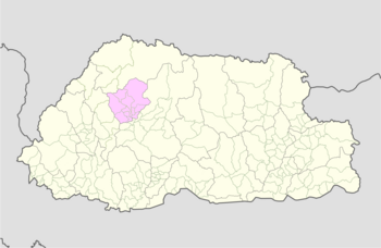
| District | Punakha District |
| Time zone | UTC+6 (BTT) |
Dzomi Gewog (Dzongkha: འཅོམས་མི་) is a gewog (village block) of Punakha District, Bhutan.[1][2]
Geography
The gewog has an altitude ranging of 1200 meters to 2400 meters above sea level. It borders Shenghana and Lingmukha Gewogs and has an area of about 22 km2.[3]
Population and Demographics
Dzomi has a population of 1350 people in 257 households. [4]
Institutions
Institutions in Dzomi Gewog include a primary school near the town of Khuruthang and a secondary school. [5]
Agriculture
Dzomi has a small agricultural industry that grows wheat, paddy rice, and mustard. There is limited forest coverage, leading to a lack of sufficient building materials.[6]
References
- ^ "Chiwogs in Punakha" (PDF). Election Commission, Government of Bhutan. 2011. Archived from the original (PDF) on 2011-10-02. Retrieved 2011-07-28.
- ^ "-". Royal Government of Bhutan. Retrieved December 12, 2010.
- ^ http://www.punakha.gov.bt/en/gewogs/dzomi
- ^ http://www.punakha.gov.bt/en/gewogs/dzomi
- ^ http://www.punakha.gov.bt/en/gewogs/dzomi
- ^ http://www.punakha.gov.bt/en/gewogs/dzomi
- v
- t
- e
Village groups (gewogs) of Bhutan
Bhutan Zone
| Dagana District |
|
|---|---|
| Gasa District | |
| Punakha District | |
| Tsirang District | |
| Wangdue Phodrang District |

Bhutan Zone
| Bumthang District | |
|---|---|
| Sarpang District | |
| Trongsa District | |
| Zhemgang District |
Bhutan Zone
| Chukha District | |
|---|---|
| Haa District | |
| Paro District | |
| Samtse District | |
| Thimphu District |
Bhutan Zone
| Lhuntse District | |
|---|---|
| Mongar District | |
| Pemagatshel District | |
| Samdrup Jongkhar District | |
| Trashigang District | |
| Trashiyangtse District |
| Dagana District | |
|---|---|
| Chukha District | |
| Pemagatshel District | |
| Samtse District | |
| Sarpang District | |
| Thimphu District | |
| Tsirang District | |
| Samdrup Jongkhar District |
 | This Bhutan location article is a stub. You can help Wikipedia by expanding it. |
- v
- t
- e


